
As the rough winter of 2013-2014 gives way to warmer weather, Philadelphians and tourists alike have slowly popped up along the Delaware and Schuylkill rivers like plant life getting its first glimpse of the sun after months stuck indoors or underground. To match the sense of anticipation and excitement circulating throughout the city, a number of public and privately funded projects both temporary and permanent are slated to spring up along the rivers’ shores at various points in the upcoming future.
The most high profile of all of these is the Delaware River Waterfront Corporation’s continuous renovation of the central stretch of waterfront, between Oregon and Allegheny avenues, part of a master plan to overhaul Penn’s Landing.
The engineering and architectural firm commissioned by the DRWC, Hargreaves Associates, has estimated the project will eventually cost approximately $250 million and bring $1.6 billion in return revenue. When finished, city officials and the DRWC hope that Penn’s Landing will attract accolades and crowds similar to Baltimore’s Inner Harbor, or even the Schuylkill River Trail.

“In a lot of ways, we’re drawing inspiration from ourselves,” Lizzie Woods, a project manager at the DRWC, explained. “The Schuylkill River Trail is hugely successful and you can see that in both terms of daily users and the amount of development that’s gone up around it.”
The public wants things to happen on the Delaware side, she said while acknowledging a trend in urban development across the country over the past couple decades.
“We’re also very aware that Philadelphia has to stand on its on and can’t just copy what other people have done,” Woods said. “We want to make it feel relevant to the city and unique in its own way.”
Initially encouraged by Fringe Arts’ decision to buy the building across from Race Street Pier and by the popularity of Morgan Pier’s – at the end of Vine Street, the DRWC recently announced plans to go forward with the opening of Spruce Street Harbor Park (in the image at the top of the post) this summer. Located at the marina basin on the Delaware, Spruce Street Harbor Park will consist of five components: the Mist Walk, the Urban Beach, Harbor Boardwalk, the Columbus Seating Area and the Hammock Lounge. The Hammock Lounge is the centerpiece—three barges floating on the Delaware will be overlaid with netting so visitors can almost reach down and touch the water. A steady rotation of drinking and dining options will also be available to patrons on these vessels.
“These are the kinds of temporary improvements that are necessary for gathering momentum and awareness,” Woods said. “That’s why we’re doing Spruce Street and we’ve done the Blue Cross River Rink and Winterfest. Not that many people realize what an asset we already have. That marina is one of the largest public marinas on the East Coast. People aren’t taking advantage of it as much as they could.”
In the long run, Penn’s Landing and the connectivity provided by the DRWC-controlled trails is a small piece of a much larger puzzle. More obscure segments of the trail are in the process of similarly exciting and potentially transformative renovations that focus less on big-scale, blockbuster entertainment and instead embrace the ecological angle of things.
Such is the case at Lardner’s Park, near the Tacony-Palmyra Bridge, where people like Jim Fries, a project manager at the Delaware River City Corp., have quietly focused their funds and efforts on rehabilitating the dilapidated waterside spaces while attempting to attract more people to their section of trail with beautiful, consistent landscaping.
Fries specifically has dealt with aquatic/semi-aquatic plant and animal life native to the region, driving out invasive species and restoring shores to their original, pre-industrialization splendor. This work included a living shoreline that provides a sustainable habitat for humans and non-humans alike. Lardner’s Park and the surrounding area is also punctuated with interactive signage that identifies species of birds, insects, fish and plants native to the land.
While others bemoaned the harsh winter’s delay on developmental progress, Fries sang a different tune.
“In the long-term, you need winters like that,” Fries said. “That was part of what determines how far north plants can go. For years now, they’ve been moving further and further north and that winter gave us a push back. I noticed back home my bulbs were happier than they’ve been in years.”
His motto is: “First year you weep. Second year, you sleep. And third year, you leap.”
Major technological leaps have also been made in addition to the ecological and environmental ones with the promise of a new system along the trails to measure foot and wheel traffic.
A combination of three different counting technologies–pneumatic tubes, infrared scans and something called an inductive loop—will accomplish this. The tubes will run under the asphalt, while the infrared scans and inductive loop are keeping track of body heat and magnetic resonance as people pass through. Wireless transmitters will then transfer all this data to computers, which will eventually be made available to the public.

Perhaps more importantly, the data will give the city and investors incentive for completion. Not to mention, an extremely accurate picture of how many people use the trails and how frequently, depending on the weather and connectivity.
The DVRPC website is intended to showcase the data it develops through the counting stations. A 2011 count from the Port Richmond Trail, between Venango Street and Castor Avenue, shows only 23 people walked past the counter over a 10 day stretch before it was rebuilt. Whereas, the Schuylkill River Trail near the Waterworks dam had 235 passersby during a 10 day stretch in 2010.
“There are plenty of portions that don’t see a lot of traffic,” said Shawn Megill-Legendre, a research analyst at the Delaware Valley Regional Planning Commission. “They lack continuity or access to other parts of the trails.”
Such “pinch points” exist all over the city. The DRWC is worried about Dave & Buster’s, while the plans for the Manayunk Bridge raise fears over cyclist and pedestrian safety. The O’Neill Properties Group, responsible for restoring the bridge and connecting it on the Lower Merion side, must field these safety concerns and consider them in their design and implementation. After all is said and done, the bridge is predicted complete by the end of 2015.

“When these sorts of trails feel safe to the public, you get more day-to-day use, using it to get to school and to work,” said Kay Sykora, Director of Destination Schuylkill River run by the Manayunk Development Corp.

Similarly, Sarah Clark Stuart, director of the Greater Philadelphia Bicycle Coalition, has seen developmental snags along certain parts of the Schuylkill River Trail under construction.
“The challenge with the Schuylkill is that you get high water and swift currents with a heavy storm like Hurricane Sandy and Hurricane Irene,” she explained. “So you either design a dock to the point where nothing ever disturbs it, which costs a lot of money, or you make a much simpler access point like a ramp. We went out to Pittsburgh to look at their waterfront and get ideas for how to launch kayaks and such.”
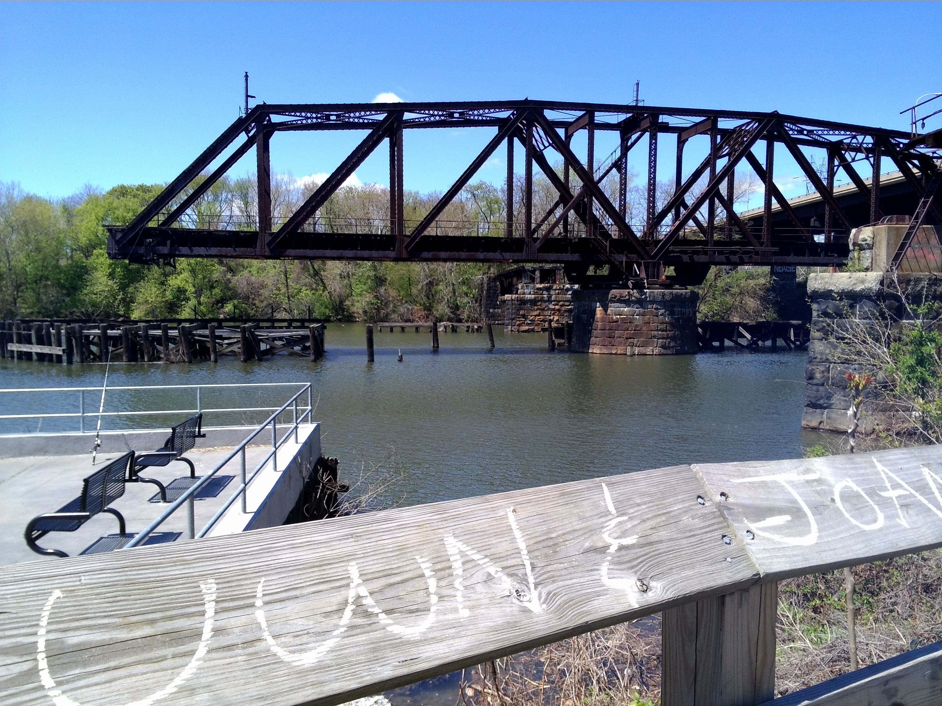
These traffic and weather obstacles have also hindered Grays Ferry Crescent River Trail’s planned connection to Bartram Gardens, where a 30-year-old railroad bridge stuck in the open position has severed access across the Schuylkill River. Such complications put a damper on estimations for completion, but all parties remain hopeful even with timetables extending years into the future.
“I think it’s all going to happen but its going to be slow,” Stuart said, “like puzzle pieces connecting over time.”
-Text, video and images by Mike Kitay, Jennifer Robnett and Drew Russin.
Be the first to comment